
My Connecticut town of Guilford and a couple of adjacent towns offer great hiking. There are many miles of trails that run through thousands of acres of beautiful woodlands. Some of the land is state forest, some is owned by the towns, some is owned by the Regional Water Authority, and some is owned by land trusts, including the Guilford Land Conservation Trust, on whose board I served for a number of years.
The hiking is so good that the New England Trail, a National Scenic Trail designated in 2009, runs through Guilford on its 215-mile route from the northern border of Massachusetts to the Long Island Sound. In the last 25 years I have hiked countless miles on countless occasions throughout these woodlands at all times of year. I have also mountain biked on many miles of the trails and cross-country skied on the forest paths when there has been enough snow (a rapidly dwindling opportunity due to climate change).
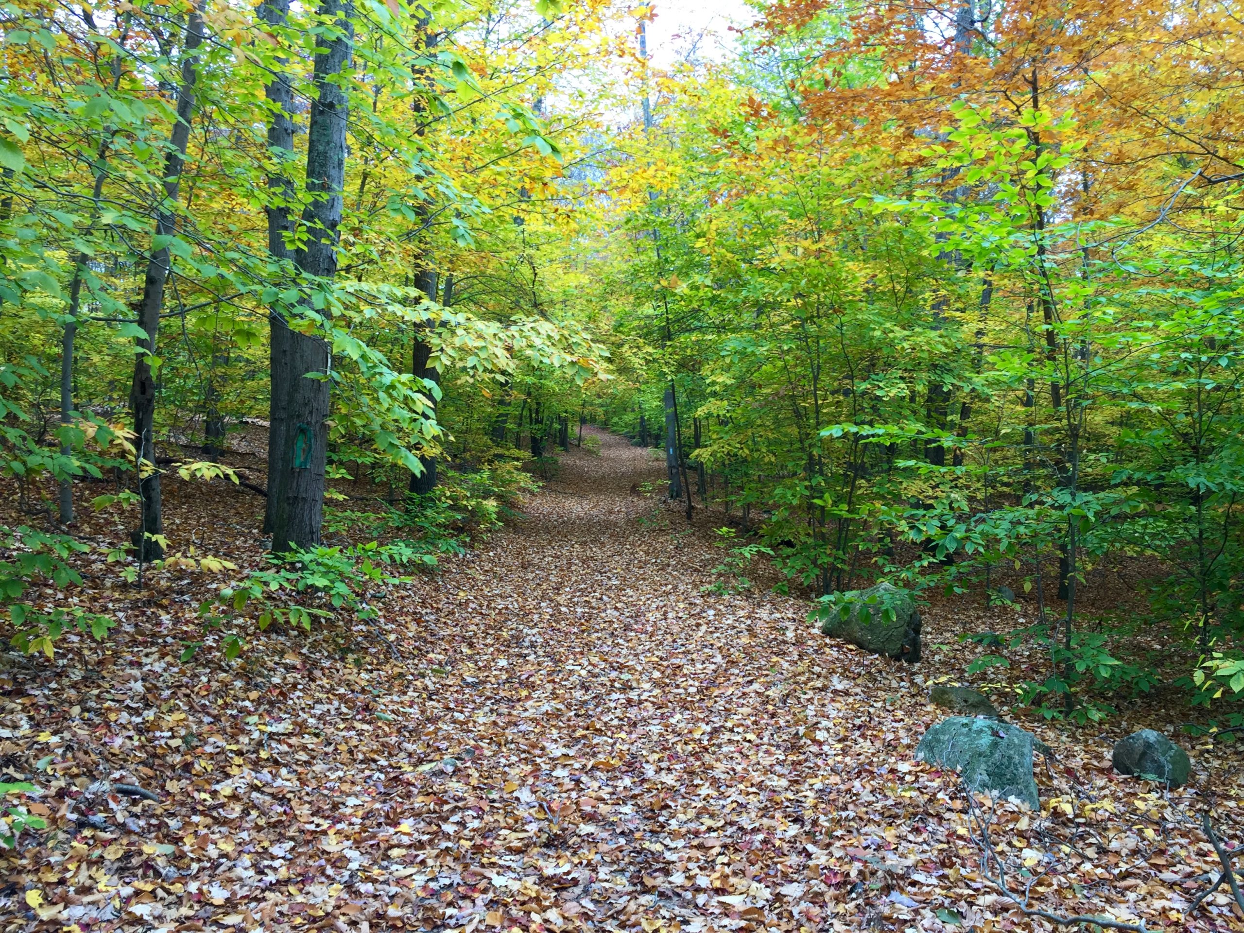
I’ve enjoyed all the hiking I have done with others or by myself, but the special walks have been ‘through hikes’ on which you don’t have to retrace your steps back to your starting point. My first long through hike was in November 2015, when I walked from the parking lot in Guilford at the trailhead for Bluff Head and the New England Trail on Route 77 back to my home. I didn’t have a hiking partner so I parked my car at Bluff Head, crossed Route 77 and went up the Broomstick Ledges section of the New England Trail. It was a seven-mile walk through the rolling forestland on this blue-blazed trail to the trailhead parking lot on Route 80 across from the Guilford Timberland. From there, I walked two miles along the road to home. I then jumped on my bike and rode back to Bluff Head to pick up my car. It was a nice hike and bike on a crisp fall day. I had brought plenty of water and snacks on the hike, and had stopped a couple of times in the quiet woods to sit and take a break while drinking and eating.
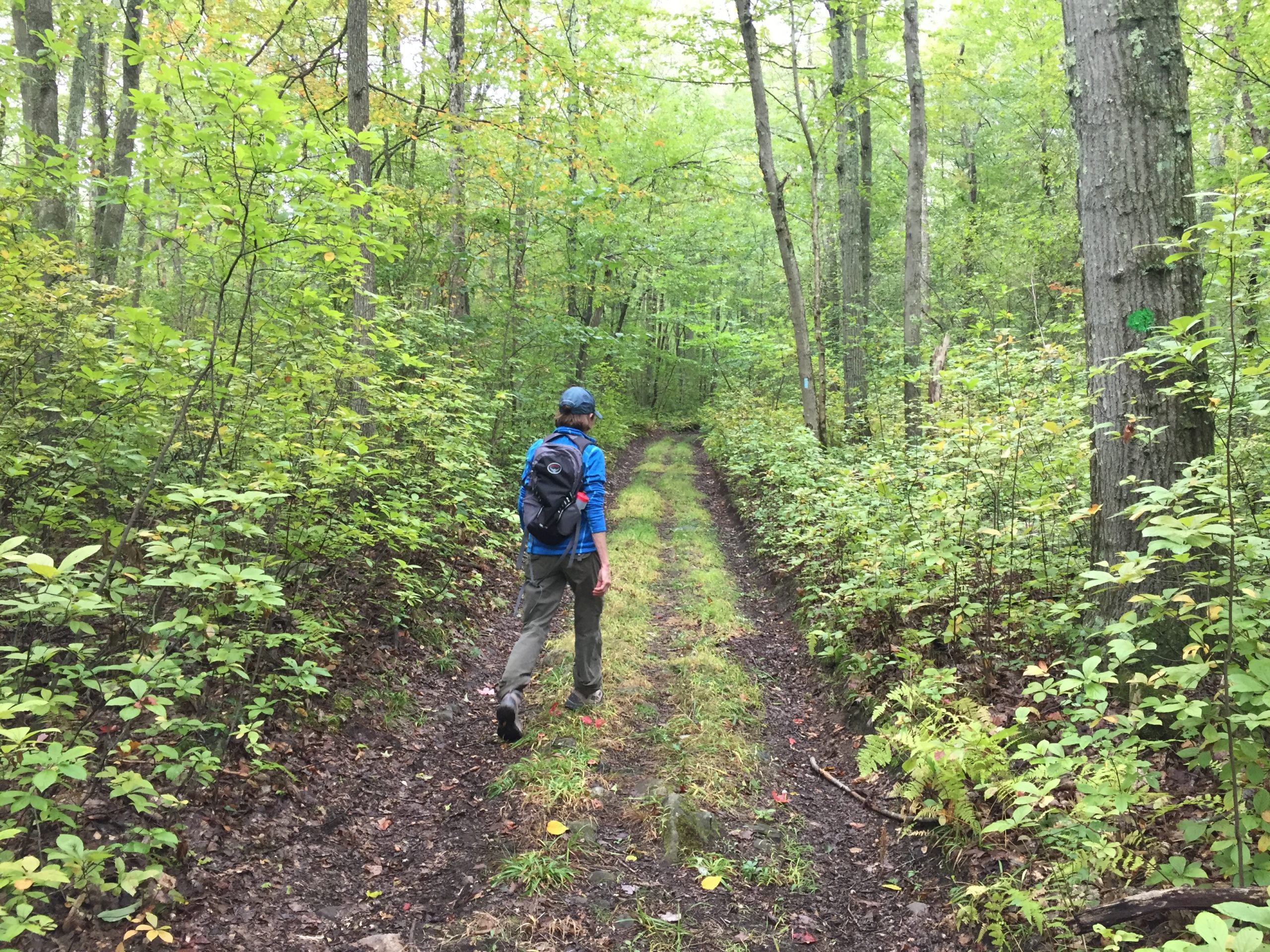
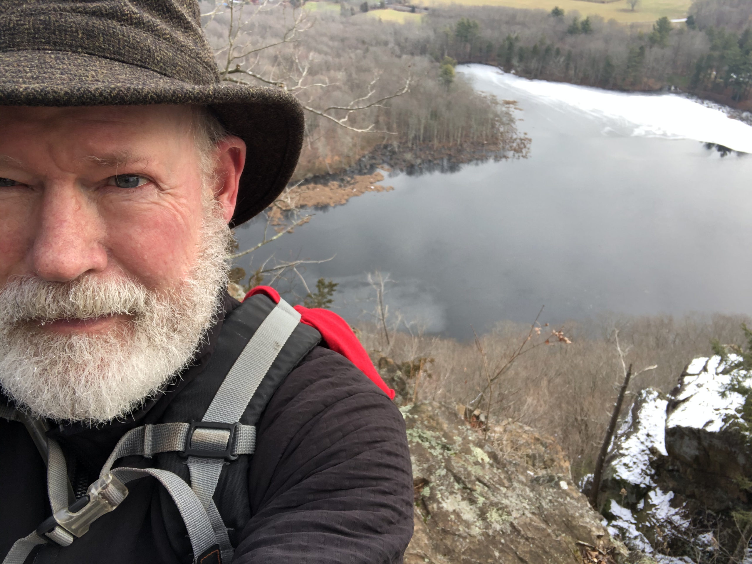
I have done the walk several more times in the fall, either with my wife or by myself. On the jaunts with my wife, of course, we leave a car at either end of the route, sparing us the two-mile walk on the road back to our house, so it’s a seven-mile journey. A couple of years ago on a mild day in December, I walked the route in the opposite direction, from south to north. i was dropped off at the Route 80 trailhead and walked the seven miles to the Bluff Head trailhead parking lot on Route 77. I decided to continue the walk and climbed Bluff Head, with its impressive views of the Long Island Sound to the south, to all the woods and fields in the east, and Hartford to the north. I then followed the trail that terminates at Cook’s Lane in Guilford and walked to the end of Cook’s Lane to get picked up. That hike was 10 miles. A month later in January I extended the hike by walking from a trailhead on Stage Coach Road off Route 17 in Durham. This walk again took me up and over Bluff Head. I then continued on via the Broomstick Ledges to Route 80 in Guilford and through the Timberlands to North Madison Road, a 14-mile trek. A subsequent through hike on a section of the New England trail from a parking spot on Clapboard Hill Road in Guilford took me through the town’s East River Preserve and on through the Guilford Timberland to Route 80, a seven-mile trip.
There are many other options for through hikes of various lengths in the area. For example, the Timberland with its multiple entrances offers a number of through hike options from one entrance of that preserve to another. One can also walk from the Braemore Preserve trailhead on Route 77 in North Guilford to the parking lot for Bluff Head, or from Braemore over the Mica Ledges to the trailhead on Cream Pot Road in Durham. which is 4 miles.
Broomstick Ledges to Route 80: 7 miles
Broomstick Ledges to North Madison Road: 9.5 miles (19 October 2020)
Stage Coach Road to North Madison Road: 14 miles (5 January 2021)
Route 80 to Great Hill Road via Cook’s Lane: 10 miles
Clapboard Hill Road to Route 80: 7 miles
Braemore Preserve to trailhead on Cream Pot Road: 4 miles
Genesee off Route 79 to Route 80: 7 miles